|
The
following are Maps of Georgetown and Redding Connecticut from
the Clark's 1858 Fairfield County map. I have also included
Blodget's 1792 map.
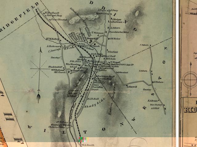
Georgetown-
Full View
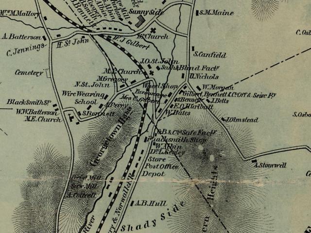
Georgetown-
Old Mill Road & Village View
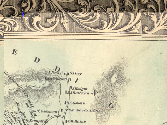
Georgetown-
Upper Village View (Would be Rt. 107 above Brookside Lane
today)
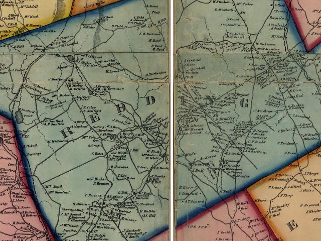
Redding-
Full View
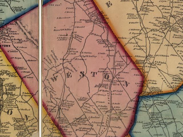
Weston-
Full View
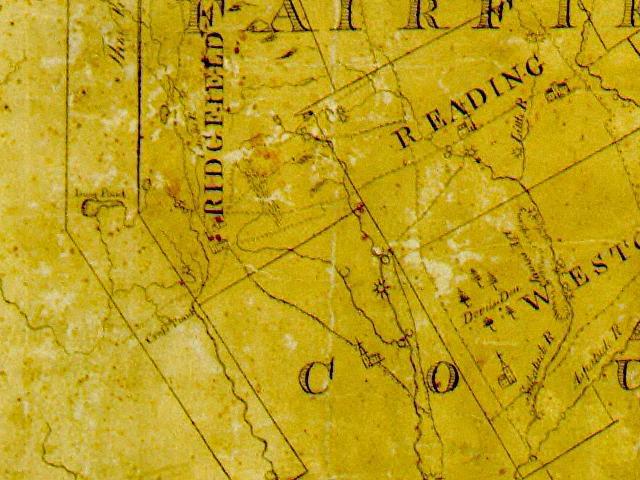
Blodget's
1792 Map
Back
to TOP | Back to Redding
Section | Back to Georgetown
Section
|