|
Jim's
photos raised the question: what other aerial images of Redding
might be out there to discover? I was able to find images
of 1934 Redding/Georgetown and 2004
Redding/Georgetown. I'm sure there are more out there
but for starters this is great stuff!
Sponsor
Link: Map
and Geographic Image Collection @ UCONN
They call it MAGIC and it is quite amazing: aerials, old maps,
etc.
1934
Aerials of Redding & Georgetown
New Pond Farm
Putnam Park
Georgetown from
Portland Ave. on down
Meadow Ridge and
Farview Farm (a.k.a Gilbert's Farm)
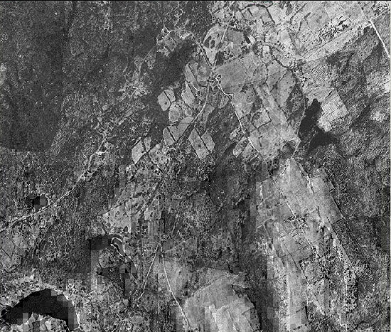
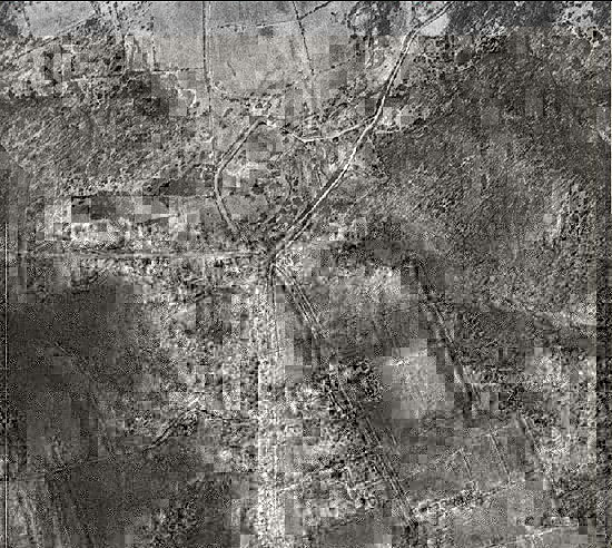
Georgetown and Boston
District. Bottom Left is Portland Ave. Pond. Top middle is
where Peaceable St., Umpawaug Rd. and Goodsell meet...X marks
the spot.
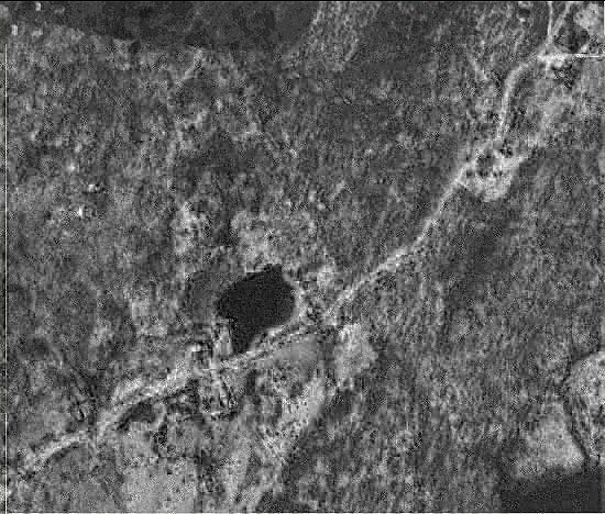
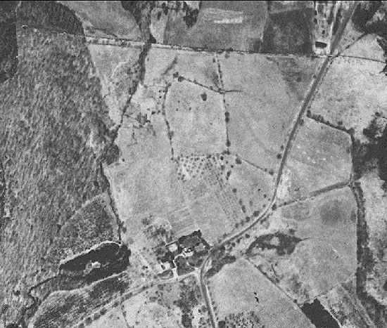
Peaceable Street,
over where my parents now live. Their house was built in this
same timeframe. The pond shown is at #33 Peaceable and appears
to be much larger than it is today. A 1856 map indicates Iron
Ore Mining in this area and after seeing this aerial there
is a stronger case for a mining pit here...keep in mind more
research is required to confirm.
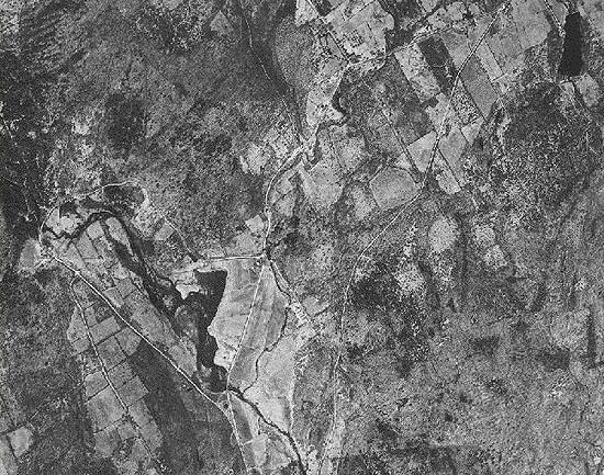
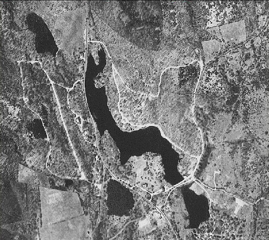
Ever wonder what
the Reservoir looked like without water? Here it is the Saugatuck
Reservoir or as it was known back then the Hull District
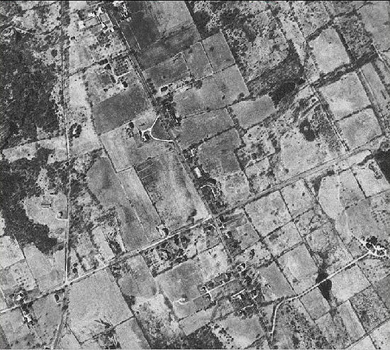
Redding Ridge
Where Sunset Hill
meets Hopewell Woods and Newtown Turnpike
Back
to TOP | Back to Redding
Section | Back to Georgetown
Section
|